The Upper Gorge Trails
An intimate, close-to-town, riverside trail.
Our souls rejuvenate when we walk beside a river. The Upper Gorge Trails offer access to the intimate and secluded Chelan River. Follow the Eagle and Cutthroat trails to arrive at a beautiful spot.
Chelan River from the Eagle trail in spring.
Eagle
As shown below, the Eagle trail begins roughly a half mile from the trailhead parking lot. Park at the trailhead and then walk along the gravel Reach One Trail until you see the signs for Eagle.

Map of Upper Gorge Trail system.
From this junction, Eagle gently drops into the Gorge over roughly three-quarters of a mile. Along the way you will pass a grove of Aspen trees and enjoy stunning down river views of the Upper Gorge.
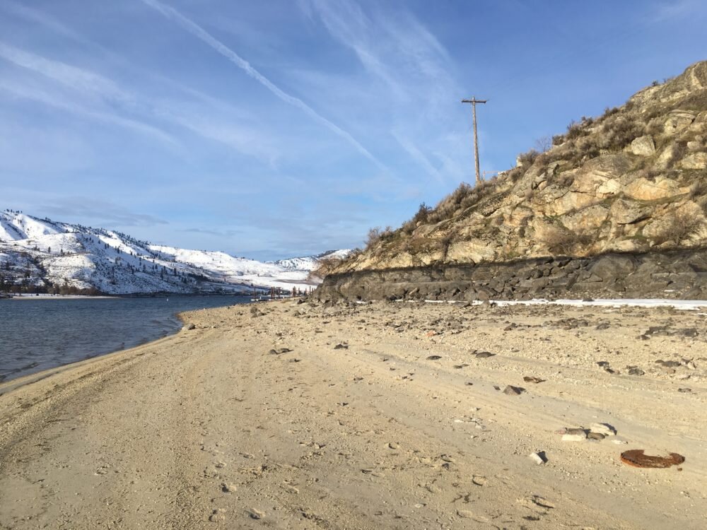
As you finish your descent, look for the 1+ acre tailings pile created in the 1920’s during the construction of the penstock of the Chelan Dam. The penstock is an underground tunnel which carries water from the dam to the Chelan Falls powerhouse located two miles away.

Descending into Upper Gorge on Eagle. Tailings pile is flat area in middle of photo.
Cutthroat
Just after you pass the tailings pile, look for the first sign marking Cutthroat trail. Take a left and follow Cutthroat over the rocky ground. (Bikers, I don’t recommend Cutthroat. Very bumpy and technical.) Soon you arrive at the sacred space along the banks of the Chelan river.
Take time to notice the thriving riparian habitat, especially beautiful in fall. Look for waterfowl resting in the calm pools.

Chelan River in the fall from the Cutthroat Trail.
This natural beauty is a benefit of the 2006 Chelan Dam relicense. Previous to 2006, the Chelan River was largely dry, save for a few weeks each spring when excess runoff water passed through the spill gates.
As you leave the river bank, Cutthroat meanders through a field of fallen Ponderosa pines. A dramatic fire swept through Chelan on August 15, 2015. This stand of pines was one of the many casualties that day. But a careful look reveals many new pines pushing upward, often in the shadows of their downed predecessors.
Coyote
Cutthroat reconnects after a half mile with Eagle. A left turn onto Eagle will take you south, up and out of the Gorge to the Coyote Loop. Coyote offers two spectacular view points looking down on the Gorge as well as some easy and fun turns for bikers.

View of Upper Gorge from Coyote in early fall. City of Chelan in distance on upper right.
As you traverse the Coyote loop you can decide about your return route. Route one returns the way you came along Eagle. This drops you down into the Gorge and back out again.
If you prefer to not lose all of that elevation however, take route two following a set of old jeep tracks west toward the Butte. Soon you will see a gravel county road. Turn right onto the road and walk back up river. The county road offers a good view of your route below over the Eagle and Cutthroat trails.
Creation Story
For generations the entire Chelan Gorge was off limits to walkers and cyclists. I remember ominous signs as a boy lining the entire section of the Upper and Lower Gorge.
But in 2006, as a part of the FERC relicensing of the Chelan Dam, the Chelan County Public Utility District (CCPUD) constructed the Reach One Trail which opened up a portion of the Upper Gorge.
Then, in 2020, the Lake Chelan Trails Alliance in partnership with CCPUD and the City of Chelan, created the Upper Gorge Trail System. A big thanks to a great partnership that created a trail that will benefit many for many generations!