Running at Lake Chelan #1
North Shore 6-Mile Golf Course & Chelan Hills Route
Looking for a Lake Chelan hill climb running route on quiet streets? Here’s a six-mile, double-loop route I enjoy from downtown. Views of the Butte, lake, and town of Chelan abound!
Miles 1 & 2
The run begins on the wide multi-use trail that borders Highway 150. The trail leads you past Starbucks (a good reward destination at the end!) and the city park before heading up a gradual hill to the No-See-Um roundabout. This entire first mile is on the trail. Warm-up your legs, adjust your earbuds, and prepare for the first steep climb up No-See-Um Road.

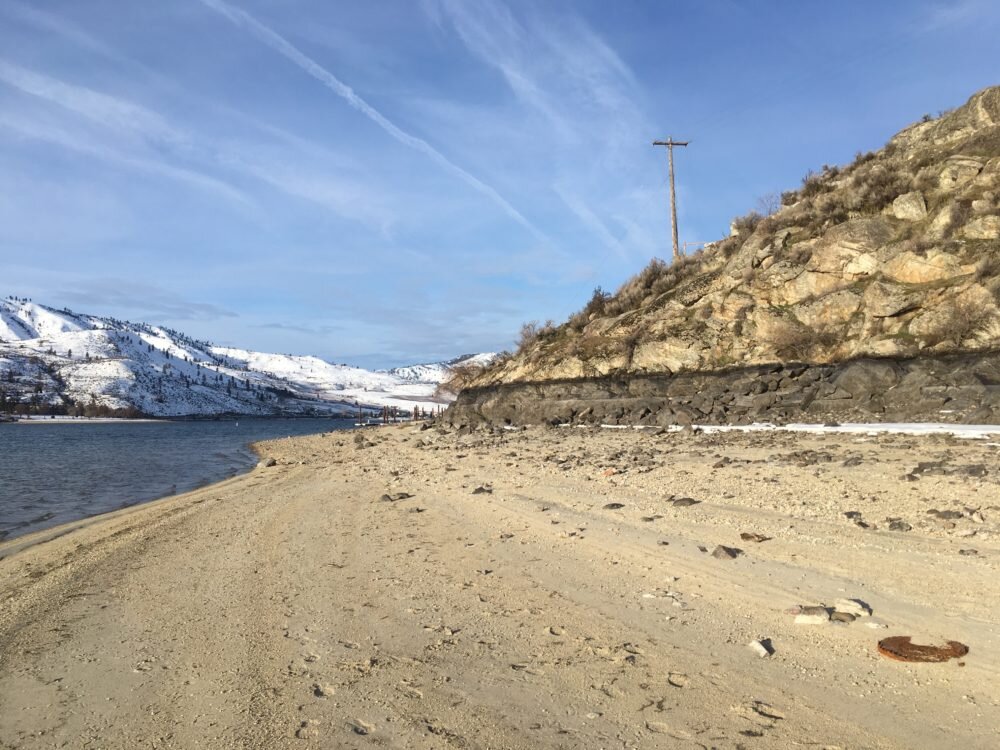
At the roundabout, double back onto No-See-Um and begin your climb. This was the first access to the Lake Chelan Municipal Golf Course. The vintage guard rails with faded white paint give you a sense of history. So does the chip seal road devoid of striping. I typically hug the left shoulder but switch to the right on a few corners to be aware of the occasional oncoming car. (View Online Map - Click on “6 Mile North Shore”)
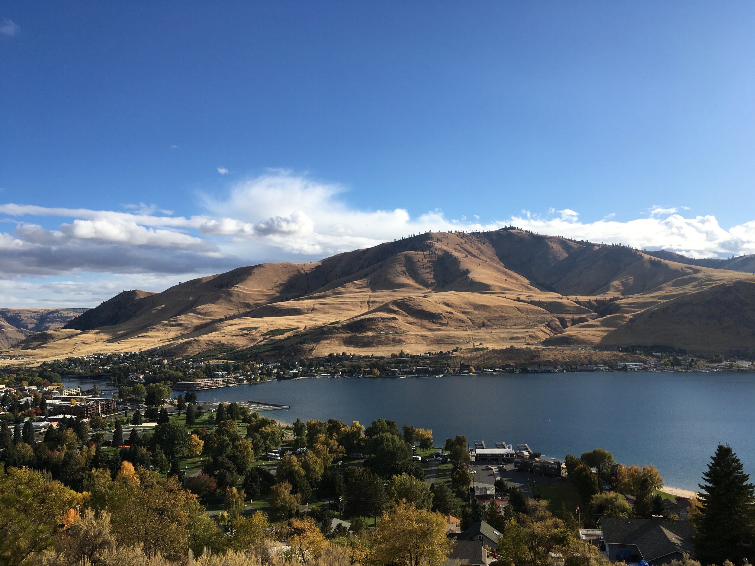
After a climb of nearly 200 vertical feet, the road levels off. You’ve reached the Golf Course plateau. Take a moment to snap a photo of the town, lake, and Chelan Butte to your right. This view is especially grand in May when the butte is fuzzy with green grass. Follow Golf Course Drive to the west.
At 2.3 miles, intersect Bogey Blvd and continue to the right. If you’ve had enough for the day, you can also turn left and follow Golf Course Drive down the hill. This returns you to the roundabout and downtown resulting in a 3.5-mile run.
Miles 3 & 4
The middle section of the run leads to the highest point at mile 4, nearly five hundred vertical feet above downtown Chelan.
The route meanders through quiet neighborhoods with multiple street name changes. Keep the map on your phone handy to make a few critical turns. Or don’t, and explore a few dead-end streets!
Views of Lords Acres, the Lookout, and Lake Chelan await as you head west along Orchard View Drive. When you reach Crescent Street, downshift to low gear and prepare for a long and gradual climb up to the run’s high point at mile 4 - 1,600 ft. (View Online Map)


Miles 5 & 6
Just past the summit, Crest Drive connects with Bogey Drive. Congratulations, it is all downhill from here! Follow your feet and gravity down Bogey until Bogey connects to Golf Course Drive.
This section of Golf Course Drive requires some attention at the bottom.I leave the left shoulder and move to the right to improve my sight of cars coming up the hill. At the roundabout join the multi-use trail again and glide the rest of the way to town. (View Online Map)
Best Times of Day
I like to do this run in the evening around sunset or dusk. The evening lighting is spectacular on the Butte and traffic is light. Often I cut across the golf course after play has stopped for the day.
I occasionally run this route in the dark during shorter days. Appropriate lighting and reflective gear is always needed, but given the light traffic and slow car speeds, runners have ample time to see and compensate for cars.
Let me know how what you think of this run. Cheers!